Gesunda is small village in Dalarna County in Sweden. It has only small number of residence and as much holiday houses. In summer it is popular for fishing, hiking, cycling and trail running and in winter for skiing with a slope and lift. You can also visit Tomteland aka Santa/fairy village, very popular with families with small children. In July trail run Fabodlunken takes place on 3 beautiful hiking trails, which are very well marked.
Very easy markings, coloured squares including distance information
GETTING THERE
Stockholm– 300km (3h 40min)
Orebro – 230km (3h 15min)
Oslo (Norway) – 320km (4h 15min)
By car: It might be possible to park at Gesunda Bystuga, but best to park behind Skilodge, just past Tomteland, this is paid parking lot.
By public transport: Take bus to Gesunda from Mora
Camper/ Van overnight stay:
Paid – Gesunda Bystuga, in 2025 cost 300 SEK/night with electricity. Nice small campsite,10 spots and only 4 with electricity. Great facilities. The start/finish line of Fabodlunken trail run takes place right at this camping place, so it is the best starting point.
Most of the trail is on easy terrain such as shown here. This is beginning shared by all 3 trails
Very clear split, however not sure if this pole is available whole year since I visited few days before the trail run
TRAIL NAVIGATION
Navigation is very easy. I visited couple days before the race took place but I believe the markings are available all year round. Walk it clockwise, it is marked only in this direction. Follow coloured squares: yellow 5km, red 9km, blue 17km. Sometimes arrows or additional boards are available for better navigation. Take picture of the map at Gesunda Bystuga, this should be sufficient, but you can also load gspx map.
Various terrains along the trail, here single trail, easy with some small tree roots and stones
Small section was muddy
TRAIL DETAILS
Nice summary of the trails including course profile HERE
Start to Mangberg
The first 5km are shared for 9km loop and 17km. Start with some quickly changing terrains and changing inclines, which turns into single line forrest trail climb. This is at steeper incline and some stones and roots. After ringing bell at the peak of the hill enjoy descent through similar terrain at first and then some meadows. Shortly after crossing a road and passing a lake to your left, you will arrive at Mangberg. Complete small loop around the area. 9km loop will take return back to start on mostly flat terrain.
Trail around the lake on the yellow 5k loop
9km and 17km split after loop around lake in Mangberg
Mangberg to climb
17km loop will continue again passing fast changing terrains of roads, forrest trails, meadows, slightly boggy areas while climbing second hill. Some very brief parts were very muddy due to rain in previous days, but easily passable with normal sports shoes. Descent on on wide road, which is uneven, but still very easy to do if hiking. After turning to a different wide road, you start your final climb, this starts easy enough with even some flat parts. Enjoy this section as the hardest part is coming.
Climb to finish
Eventually you meet turn from the main road to very steep and technical climb. You will gain about 200m in elevation in 1km. You will face various obstacles such as rocks, roots, very steep climbs, climb over fallen trees or hunching over some. It is beautiful section though. Once you reach rocky platform and enjoy the view, the worst part is over and you have only short and easy climb remaining to the top. After you reach the top with ski lift, descent to the closed hut that offers spectacular views and picnic tables. Unfortunately the descent is also very steep and technical, although on very different terrain. Once you reach the ski resort, the remaining 2km are easy downhill cruise, about 1km on pavement and final km on forrest trails.
Turn for the hard climb, note that there are km signs marking how many km you have completed so far
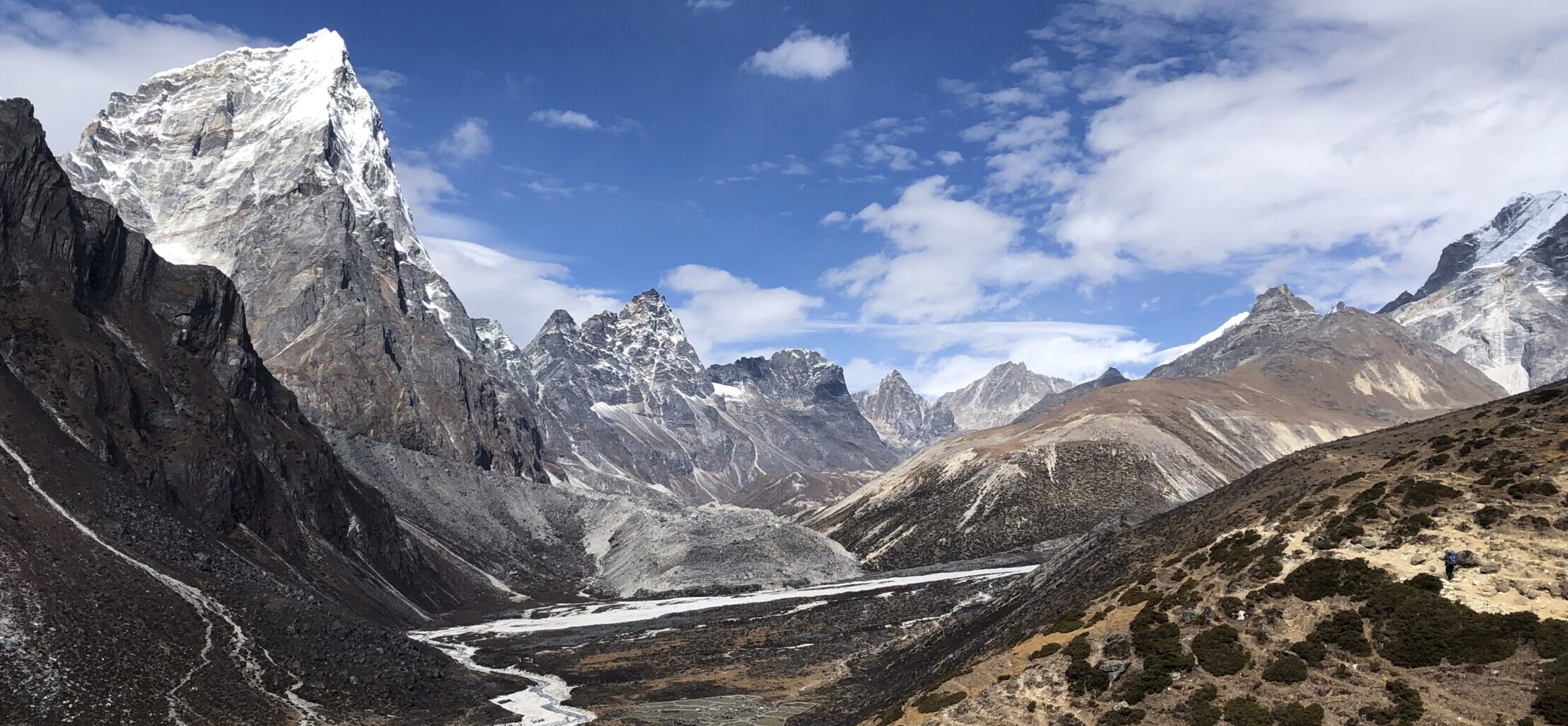
Another example of varied terrain, here through meadow with a view on the hill that will need to be hiked up
OTHER DETAILS
Tree coverage: Mostly tree coverage but with several open sections, good protection from sun needed
Geocaching: One geocache at top of the big hill. No Adventure Labs.
Dogs: It is possible to the trail with a dog if trained for steep climbs and long distances. Dog must be leashed.
Shoes recommendation: Sport shoe with good profile
Hiking poles: Not necessary but might be useful for the big hill.
Trail running: Good for experienced trail runners. Beginners should allow sufficient time due to some technical parts.
The climb up the final hill is the most technical part, but it is also very beautiful
At the start a lot of the trail is through forrest on easy terrain but with some rocks and tree roots
FACILITIES
There are no facilities along the way.
Restrooms: Gesundaberget Skidbacke – if visiting the restaurant
Restaurants: Gesundaberget Skidbacke
Shops: Not in the area
PERSONAL EXPERIENCE
I completed 17km loop on Wednesday as a trail run. The conditions were hot and sunny. I have not encountered anyone on the trail with exception of the loop around Mangberg and then Gesundaberget. It might get busy during weekend, especially in nice weather.
I would not recommend completing the climb to and from Gesundaberget after heavy rain as the trail will be slippery.
Turns are very well marked
Wide road through forest on easy terrain and easy incline


2 Responses