Alta is a village in the north of Norway famous for sightings of Northern lights. It inspired build of cathedral of unique architecture. Alta museum is heritage center with open-air rock carvings popular with many visitors. The area offers variety of activities in summer and winter, such as hiking, fishing, water sports, husky sleds, reindeer restaurants and other.
Nordtoppen and Hjemmelufttoppen are nice hikes starting just outside of the city, close to the popular museum for rock carvings. Little information with the map available HERE
GETTING THERE
Oslo (through Sweden)– 1735km (21h 30min)
Tromso – 380km (5h 25min)
Lulea (Sweden) – 610km (7h 30min)
By car: Follow E6 away from Alta towards Alta Museum, shortly after the museum (on your right), you will find small free parking lot to the left.
By public transport: Take bus from Alta to Alta Museum
Camper/ Van overnight stay:
Paid – Alta Batforening – Gjestehaven, small campsite at marina with great fjord views (2025 price per night 300 NOK, including electricity, showers 50 NOK/15min). Not all necesarity camper facilities provided (such as emptying). It is 4km to the trail start on bike/footpath.No website available for this campsite.
Free – Close to the center on Pestegardsveien 13 in Alta, also 4km away.
The trail head, the trail is well marked and some turns have poles with signs with distances
You get great views after just short climb as soon as you get to this open area on rocky terrain
TRAIL NAVIGATION
Navigation is somewhat easy, it is marked well enough, but gspx might be useful if orienteering is bit of challenge. I found it easy to follow up but the way back wasnt marked as clearly, but if you pay attention or try to look little further ahead, you can always spot the markings. Follow blue dots and stripes on stones and other landmarks. Few points have additional poles with arrows and sometimes remaining distance.
Trail split between Nordtoppen and Hjemmelufttoppen
I recommend visiting both Nordtoppen and Hjemmelufttoppen for great views on Alta
TRAIL DETAILS
Choose from 3 alternative trails:
1. Hjemmeluft peak and back – 2,8km return
2. Nordtoppen – 5,4km return
3. Hjemmeluft and Nordtoppen – 6,3km return
The trail gets progressively harder as you go up. Hjemmeluft is blue marking (medium) and Nordtoppen is red marking (hard), I agree with this grading.
HJEMMELUFT
The trail starts by E6 going up, the very first part is very easy trail, quickly turning into big rockface climb. This is still very easy and you start getting amazing views right away. After a while the trail become forrest trail full of rocks and tree roots. Continue your climb until you get to the split between Hjemmeluft and Nordtoppen. Hjemmeluft is only 0,4km from here and the terrain is not very difficult, it is nice stop. I found that the markings, for the way back to the split, were lacking the most in this section from the whole trail.
NORDTOPPEN
From the split continue to your left. The terrain is mostly easy but the climb becomes steeper in sections. Some parts might be more technical, but I think the climb itself is the hardest part. The hardest section of the trail was very steep but short climb on slope without much traction, not much grips. However ropes were provided and with them the ascent and descent were fine. You might face some rocky terrain, the trail might be very slippery after rain.
ProTip: Bring bug spray due to high number of flies and mosquitoes and other insect.
Rocky and steep trail shared to both peaks notice the blue dot on the stone which marks the trail
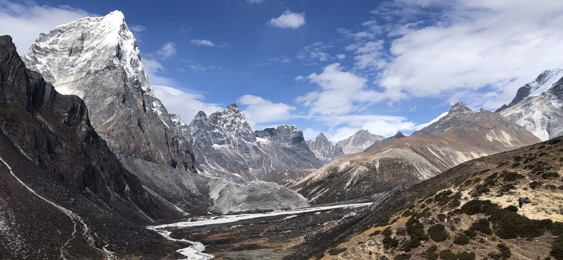
Example of the terrain to Nordtoppen
OTHER DETAILS
Tree coverage: Some tree coverage but with also a lot of open sections, good protection from sun needed
Geocaching: Couple of geocaches along the trail. No Adventure Labs.
Dogs: It is possible to the trail with a dog if trained for steeper climbs. Dog must be leashed.
Shoes recommendation: Sport shoe with good profile
Hiking poles: Not necessary, but might be useful.
Trail running: Best for experienced trail runners due to the terrain and the steep ascents and descents
The hardest section for Nordtoppen, very steep and a lot of it without much grip, the rope was very handy
Steep and rocky terrain but with amazing views
FACILITIES
There are no facilities along the way. Plan well ahead.
Restrooms: Not on trail or close proximity
Restaurants: Not on trail or close proximity
Shops: Not on trail or close proximity
PERSONAL EXPERIENCE
I completed both peaks on Thursday. It was hot and sunny. I have encountered couple of people, but the trail didnt feel crowded at all. It might get busy during weekend, especially in nice weather.
Beautiful views from the day hut at the top of Nordtoppen on the fjords, mountains and Alta


2 Responses