Dalstuene “The Dal cabins” is historical sight in Kvaenangen municipality. The unique feature is that one of the cabins is also available for rent or you can stay with your tent here. It is only possible to visit the sight on foot by crossing suspension bridge. There are two routes leading there, meaning it is possible to complete it as a loop. Note that you will cross two safe but shaky suspension bridges, so hike is not suitable for people with vertigo.
The trail is not really marked but some splits have directional post with distances
GETTING THERE
Oslo (through Sweden)– 1805km (22h 35min)
Tromso – 300km (4h 15min)
Alta – 125km (1h)
By car: Drive on Fv367 towards Bjorkenes campsite. Straight after passing the campsite and small bridge, turn left into small gravel road and drive to the end where is small parking lot. Please note that already road Fv367 has some bumps and potholes, so best to drive slower. The first km on gravel road Vei 1026 is very steep.
By public transport: No public transport available
Camper/ Van overnight stay:
Paid – Bjorkenes campsite, nice and quiet campsite, right on salmon river (2025 price per night 250 NOK, electricity 50NOK, showers and kitchen included). If you plan to also fish, best to check/buy license in advance, they were sold out for next 3 days during my visit. Salmon was seen in the river under the bridge in July 2025. You can walk to the trail for 3,5km one way on Vei 1026. More informationa about campsite HERE
Free – Haven’t seen any in the nearby area. The parking lot for Dalstuene trail has “no camping” sign.
Rocky section, the trail made of small rocks was bit harder to walk on. Nothing overly challenging but it might slow you down
Another example of the terrain, forrest trail with couple of rocks here and there
TRAIL NAVIGATION
Navigation is very easy at first, it can get bit confusing in some parts, so best to have gspx, but it is possible to navigate without. According to ut.no the trail is marked and has information boards along the trail, but I have not seen neither. Few turns have signs with distances but not everywhere. I thought I was off trail, but once I checked after, I actually followed the trail.
Official trail description and gpx map available HERE. Please note the map is for A-B route but I recommend walking it as a loop.
First hanging bridge
Second hanging bridge
TRAIL DETAILS
Campsite to Dalstuene trail head
From the campsite go to the main road and turn left. Straight after crossing small bridge turn to right. There are also some signs. After this the navigation is easy since it is straight road. There are some small turns or paths to the side, but just stay on the main road. The terrain is very easy, gravel road, very easy to walk on. The main challenge is in the first 1km where you gain about 70m in elevation. Keep an eye for traffic especially during weekend.
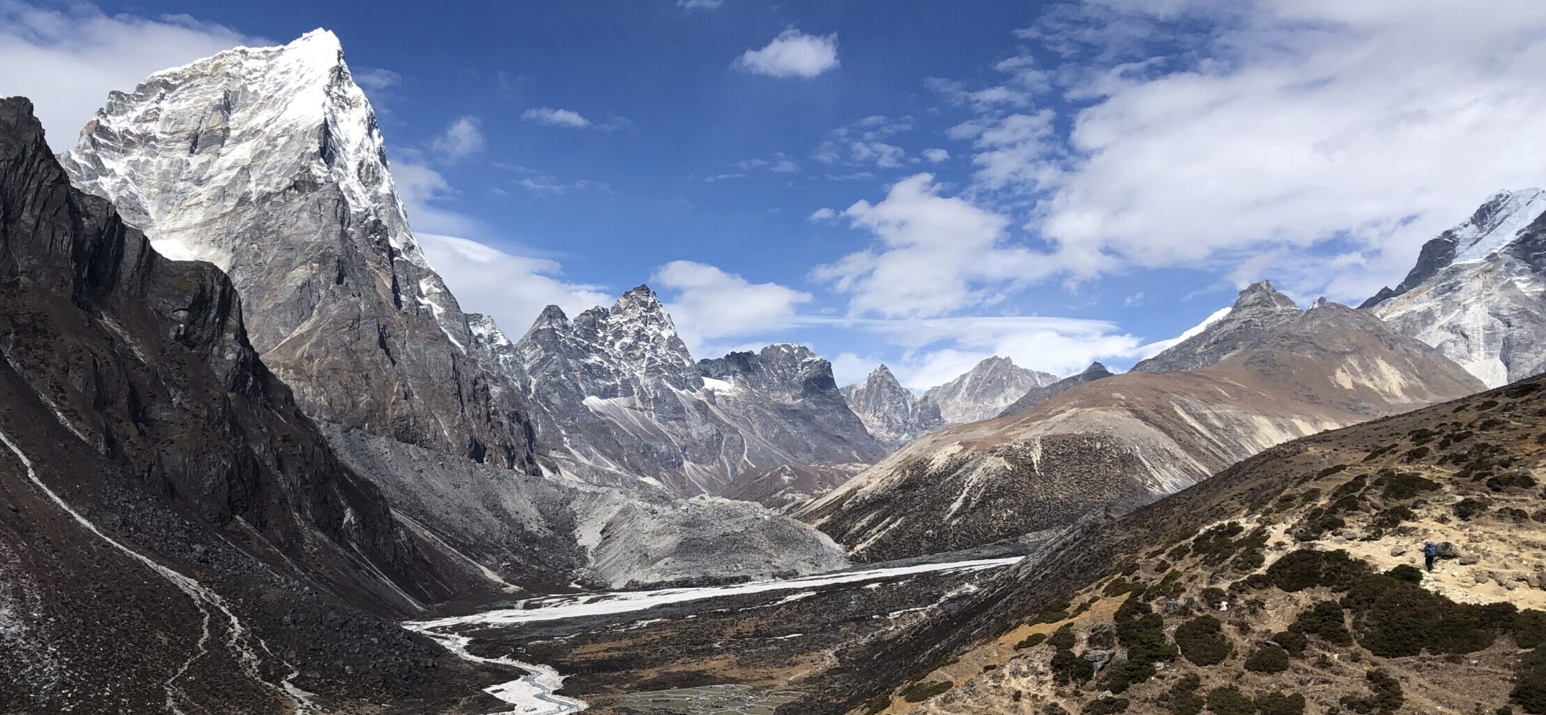
Dalstuene
The initial 1,5km of the loop is relatively easy, at the first split continue straight and after that there are not really further turns, the path is clear. It is partially forrest trail with some rocks on it, but nothing technical, in the middle is longer section made of medium sized rocks, not difficult. It will just slow you down a bit. There are some minor climbs also. Eventually you will make it to a split. Go to the right for slightly longer (northern) route or to your left for shorter (southern). Or as a loop in whichever direction you prefer.
Example of the northern route
Another example of northern route, the trail is overgrown but still visible
Northern route
Shortly after turning to the right, you will need to cross suspension bridge. The bridge is sturdy, but it swings slighly. Only one person can cross at the time. After the bridge turn to the left, try to locate the trail and follow it, from here until the village, you will be going down or on flat ground. The trail varies constantly but it is pretty uneven and when I went it was overgrown with plants, mostly grass and ferns, no nettles, so walking in shorts is possible. There were several fallen trees on the route you need to go over, under or around. The trail is there, but it is not as prominent and I was doubting a lot if I’m on the right track, but as long as you keep walking on trail keeping the river nearby to your left, you will reach the cabin eventually. Enjoy break at the cabins, take a dip in the river and then either return same way back or go for southern route for a loop.
Southern route
From the cabin, cross another suspension bridge, this one is slightly longer and wider but it still sways and only one person can cross at the time. In the south there are actually two trails, but I recommend taking the one right by the river. I tried the more inland one but it brought me to a boggy area and I didnt have boots with me. From the bridge take sharp left down to the river and follow the trail. This trail was very easy to follow, mostly wider gravel road with some rocks and roots. Small parts is right by the river/small gorge where there are boulders. This was really beautiful part. This route is significantly easier both for navigation and terrain, so if you prefer to complete return same way, I recommend this route.
Southern route along the river
Southern route alternative, along a bog, this might be muddy
OTHER DETAILS
Tree coverage: Some tree coverage, bring sun protection
Geocaching: No geocaches and no Adventure Labs.
Dogs: It is possible to the trail with a dog. Dog must be leashed.
Shoes recommendation: Sport or hiking shoes with good profile
Hiking poles: Not necessary
Trail running: Best for experienced trail runners. The rocky part at the initial part was bit challenging to run on, the northern route is harder for running than the southern part
FACILITIES
There are some facilities. Plan well ahead.
Restrooms: At Dastuene parking lot and at the cabin
Restaurants: Not available
Shops: Not available
Dals cabin
3,5km long gravel path leading to the parking lot.
IPERSONAL EXPERIENCE
I completed Dalstuene on Tuesday as trail run from Bjorkenes campsite (12km in total). It was hot and sunny. I have encountered 2 people with a dog on the trail and some people around the cabin. It might get busy during weekend, especially in nice weather.
ProTip: Bring bug spray, there was high number of flies, mosquitos and other insects, especially around Dastuene.


