Agua Amarga is small fishing village in Spain. It is in the northern part of the Cabo de Gata-Níjar Natural Park, offering beautiful coastal hikes. The village is popular for its small caves on the right side at the beach. Another popular site are ruins of mineral mine complex just above the village. There are nice hike north from the village to Mesa Roldan and further, or small in-land loop.
El Plomo is small beach cove with sand beach among dramatic cliffs with some fossils. It is possible to swim as well as snorkel and on windy day also surf.
El Enmedio is the highlight of this hike and should not be skipped, soft white sand and beautiful white cliffs. This beach is only accessible on foot or by boat.
More information about the hike HERE, about Agua Amarga HEREand about the El Enmedio beach HERE
Map at the start of the hiking trail
GETTING THERE
Barcelona– 750km (7h 30min)
Granada – 205km (2h 10min)
Murcia – 190km (2h)
By car: Park at free parking lot outside Agua amarga Camper Park or elsewhere in the village. It is also possible to reverse the hike and park at El Plomo, but you have to do off-road on gravel track for several kilometers.
By public transport: Take bus from Almeria, limited timetable.
Camper/ Van overnight stay:
Paid – Agua amarga Camper Park is great base for various hiking options. Right at the trail head. Price in 2025, off-season 15 EUR, 5 EUR electricity, 1EUR/5min shower.Campsite has no website and they do not make reservations.
Free – No spots at Agua Amarga, might be possible at the parking lot for El Plomo beach.
The trail is marked by blue stripes and direction post such as the one on the photo
Above the campsite at Agua Amarga are clear signs sending you to the start of the hike
TRAIL NAVIGATION
Start at the Agua Amarga Camper Park, take the road straight after the campsite to the right. Follow while/blue stripes on rocks or poles. The navigation is mostly straight forward, sometimes you need to pay better attention to spot the marking, but it is mostly easy.
For visiting beach El Enmodio, turn to your left (instead of straigth) after you descent. It is also possible to make turn to your left at the top of the pass just when it will start heading down, but it is not marked trail. It is better to take this shortcut on the way back.
Example of the route on Wikiloc HERE. But start in Agua Amarga and do not cross private property as suggested in this route.
Make sure to stop at the Agua Amarga beach and visit the caves on the right side
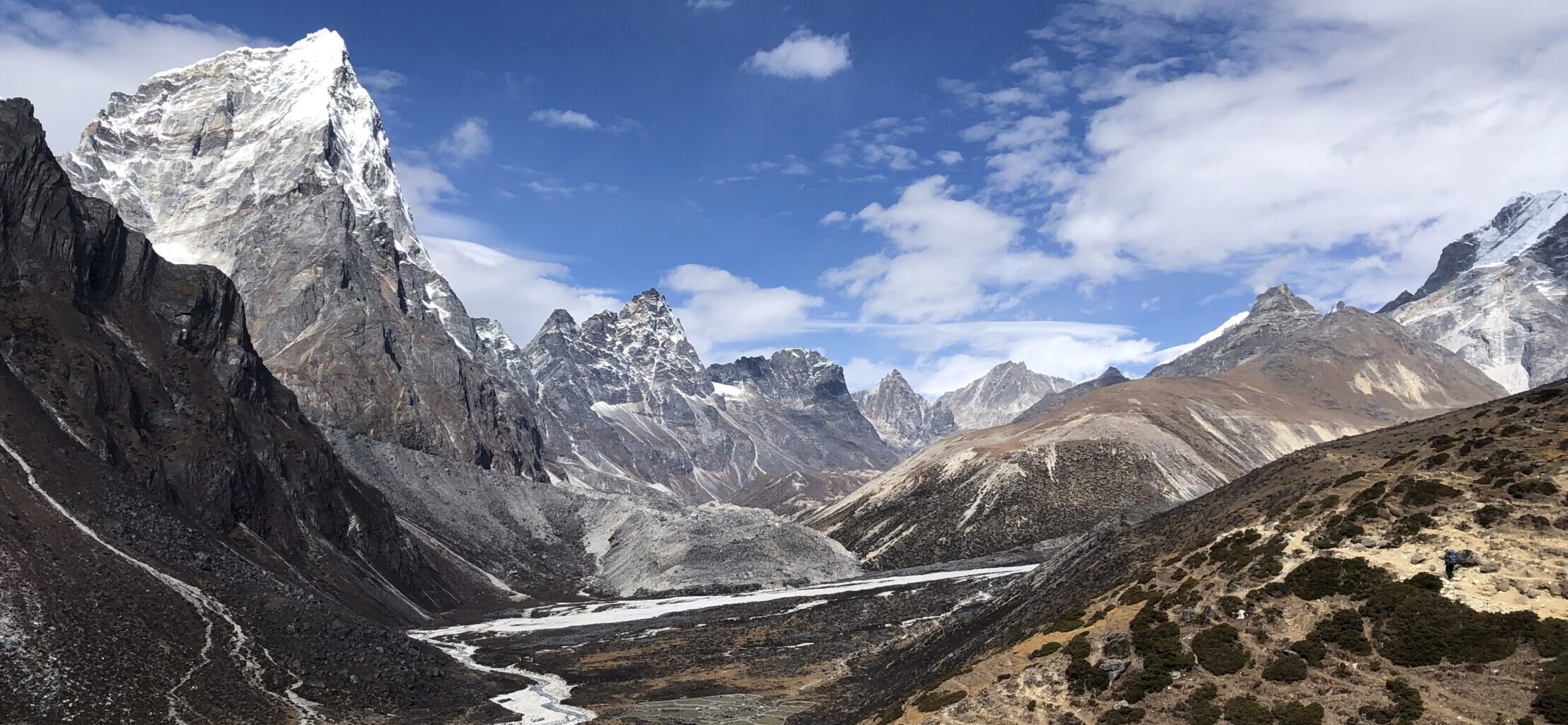
View inland from the hill just above Agua Amarga
TRAIL DETAILS
First hill climb
Start with steep hike up the first hill, it is on gravel/rock trail. It can be hard in some parts and watch out for loose rocks/scree. You are quickly rewarded by view of Agua Amarga village and see the mineral ex-mines on the opposite hill. Continue along the top of the hill, it is enjoyable narrow path with great views. Once you get view on the other side, you will start your descent. It is somewhat similar terrain but easier and very gradual. Once you reach the bottom, I suggest to continue to El Plomo beach first by taking the path straight ahead/slightly to your left. Look for a pole with white/blue stripes.
Second hill climb
The second hill climb is on similar terrain and incline as the descent of the first hill. Along the trail you might encounter lightly more technical parts, but they are short and not overly difficult. The climb is really not as bad since it is about 40m in elevation, while the first hill was above 80m. Once you reach the gravel road, continue to your left and you will arrive at El Plomo beach.
Example of the trail, for most part it is not overly difficult
Some parts are bit steeper and harder, but very short, just as shown on this picture
El Plomo
El Plomo is nice beach, if you head to the right side while facing the beach, there are some trails on top of the low cliffs to get some nice views, just take caution. If you go to your left, in lower tides, it is possible to walk along the cliffs on the rock faces, just make sure to return back before the tide returns.
El Enmondio
Return same way back, but after descending the smaller hill, turn to your right to visit El Enmondio beach. It is smaller beach but has spectacular white cliffs. From here you can take “shortcut” by taking the trail on the right side (while having back to the beach). The trail connects to the same trail you started on.
Longer hike towards San Pedro
For longer hike, you can continue following white/blue stripes, this path will take you all the way to San Pedro, Las Negras or further. Please note that I found the climb from El Enmodio very challenging and the route very unclear. I did not make it to the top of the hill, however I have visited the peak of the hillside from the other side (from Las Negras, passing San Pedro). Take a note that the descent to San Pedro is even more challenging as it is technical, steep trail with a lot of scree. It is worthwhile hike though because the views at the top both toward Agua Amarga or to San Pedro were truly breathtaking and one of my favorite from the area.
El Plomo beach
View on El Plomo beach
OTHER DETAILS
Tree coverage: No tree coverage, no shade on hot days. Bring sun protection.
Geocaching: There are no geocaches and no Adventure labs along the trail.
Dogs: It is possible to the trail with a dog, recommended to keep the dog leashed. It might be straining for some dogs/breeds. Bring enough water for your dog.
Shoes recommendation: Best completed in hiking or trail running shoes with good profile
Hiking poles: Not necessary, but can be helpful during the climbs/descents. Strongly recommended if you hike from El Plomo towards San Pedro.
Trail running: Great for trail running, might be challenging for beginners but it is also training to learn to deal with hills and more technical terrain.
Beautiful cliffs on El Enmondio beach
El Enmondio beach
FACILITIES
There are no facilities along the way, plan well ahead. Make sure to take trash back with you
Restrooms: No public toilets, visit restaurants in Agua Amarga
Restaurants: In Agua Amarga
Shops: In Agua Amarga
PERSONAL EXPERIENCE
I completed this hike in March 2025 on Tuesday and Sunday. I had varied conditions, mostly warm, one day sunny and other cloudy/very windy. The trail was not very busy. El Plomo beach was busy since it is possible to visit by car. El Enmodio was not empty but each time there were only handfull of people since it is only accessible on foot or by boat.


3 Responses