Canillas de Albaida is small mountain village in south of Spain. It is right at the edge on nature park Parque Natural de Sierras de Tejeda, Almijara y Alhama. Choose from many marked and unmarked hiking trails in the area or follow long distance trail GR-249 in either direction. The peaceful farmland area offers great mountain views as well sea views in the distance.
Canillas de Albaida, mountain village with view on the sea
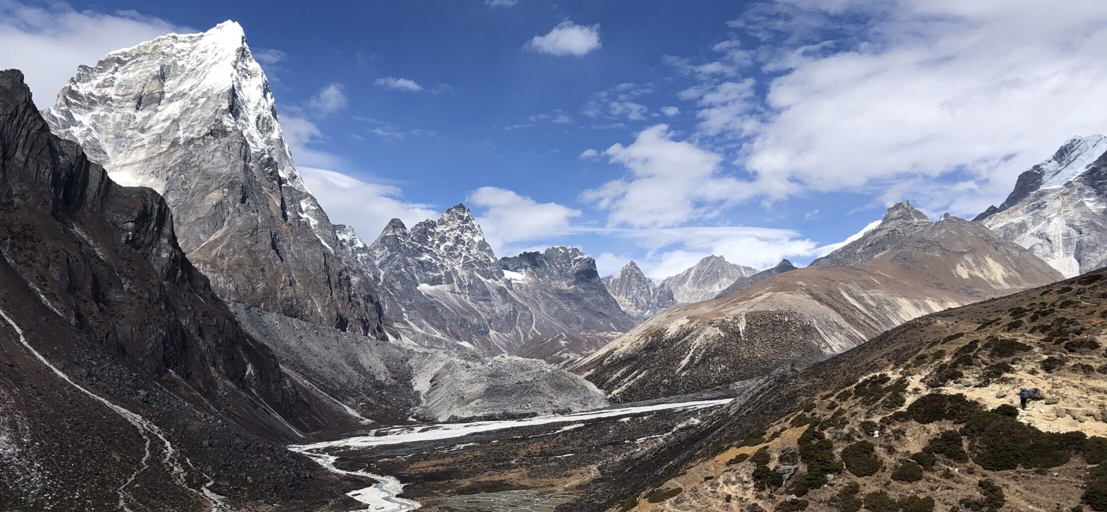
El Mosquin campsite
GETTING THERE
Barcelona– 1150km (11h 45min)
Sevilla – 260km (3h)
Malaga – 60km (1h)
By car: Park at the village of Canillas de Albaida, or at following location: 36°50’57.0″N 3°58’05.4″W
By public transport: No public transportation available
Camper/ Van overnight stay: Área de Autocaravanas, Caravanas y Campers El Mosquín is affordable and great campsite. Avoid going through village Arches and instead take longer but better road through Competa. More about the campsite HERE
TRAIL NAVIGATION
There is no navigation available, the described loop is not official loop. However, it is fairly easy to follow by making turns to your right to complete the loop. Further details in trail details.
Described loop is not an official loop, but there are various navigation poles that help
Part of the loop follows GR 242, marked by white and red stripes on poles and other landmarks
TRAIL DETAILS
Ascent
Start at the campsite going up to meet the cement road, turn to your LEFT and follow the road for 2km until sharp pin that start leading downhill. The terrain is easy, after steep initial climb the road is mostly flat with mild up and down.
Once you reach the sharp pin, stop following the road down to the left, but instead continue STRAIGHT AHEAD/RIGHT on gravel path. This is wide path with many rocks. The trail follows the mountain and nice and friendly incline for 2km. This part is easy to medium difficulty.
Make sure to take uphill path with sharp RIGHT turn when you a small split. You will know you are close when you see small cave in the rock face in front of you. This is another 2km section. Walk on the constantly changing trail from gravel to cement path. You are climbing up, but at zig zag, so it is not very difficult.
You can start at the village or 2km further at small parking lot. At this harpin, you need to leave the road and follow the forrest path (to the left from the car on the picture)
Easy road from Canillas to the small parking lot and the forrest path
Mountain top
Once you reach the top, you will come across a signpost. Follow to your RIGHT to complete the loop. You can follow signs for GR-249 for Competa. Continue on the gravel road for about 1km until the next crossroad. The terrain is mostly flat but with some mild rolling hills.
TIP 1: You will pass by Cerro Gavilan peak, which has forestation at the top, but the road was blocked off when I was visiting. Local later told me that it is not problem to walk there anyway.
TIP 2: Make small side trip first to your left at least for 200-300m to get spectacular views. You will also pass ruin Cortijo Maria Dolores.
The first 2km of the forrest trail is nice easy rocky road along the hills, gently going up
At this turn, make sure to continue to the right. You will see some caves while approaching this turn
Descent
At the crossroad take the path on your RIGHT. If you want to take much longer loop, you can also go to the left down towards Competa. Otherwise start your descent on the wide gravel road. You can follow the gravel road which is longer or follow the signs for GR-249 which include a shortcut. Please note that the short cut path is made of medium sized loose rocks. It is steeper, so while it’s shorter, it is bit more challenging especially on descent. If you take the shortcut continue to your left.
Once you reach the next split in the road, stop following GR-249 and turn RIGHT. Enjoy wide gravel road that is descending down and very nice gradient. It is about 3km long until you reach the same road on which you started again. Turn LEFT to go back to the starting point at the campsite.
As you approach the top, it is worth to make small detour to Cortijo Maria Dolores
The mountain views all around are spectacular
OTHER DETAILS
Tree coverage: Some tree coverage on the ascent, but mostly exposed the rest of the time, minimal shade on hot days. Bring sun protection.
Geocaching: There are some geocaches and no Adventure labs along the trail.
Dogs: It is possible to the trail with a dog, recommended to keep the dog leashed.
Shoes recommendation: Can be completed in any sports shoes, but preferably in hiking specific.
Trail running: Good for experienced trail runners. Mostly mild inclines, very rocky trail, but not overly technical.
Descent towards Competa
The trail from Competa towards Canillas de Albaida
FACILITIES
There are no facilities, so plan in advance
Restrooms: Restroom at El Mosquin campsite, only available for paying customers.
Restaurants: At Competa or Canillas de Albaida
Shops: At Competa
PERSONAL EXPERIENCE
I completed versions of this hike in February 2025 on Tuesday. I had cloudy and slightly cold conditions. It was not busy at all, but likely busier during weekend and while nice and warm weather.


2 Responses