Caminito del Rey is very popular trail located in Gaitanes gorge in Spain. The initial trail was build in 1905 for maintenance workers of the water power plant, surveillance and transport of materials.
The visit of king Alfonzo XIII gave the path its name. The path detorated after that, and became very dangerous, however rock climbers and people were still visiting, so the government decided to rebuild the path in 2015. It is very safe trail now.
Ticket information
It is paid trail, prices in early 2025 were 10 EUR for solo or 18 EUR with guide. The 10 EUR tickets are very limited and mostly sold out. However it is best to buy tickets in advance to assure you can walk the trail, since it is very popular attraction. Other visitors told me there are about 50 solo tickets (10 EUR) being sold first thing in the morning. Also I asked if I can go in earlier slot since I arrived with plenty time spare and un-intentionally ended up walking solo, not with guide and group.
More about the trail, the history and booking of the tickets HERE
Map of caminito del Rey, red is the paid trail, yellow is walking trail between trail start/end to parking lots/bus stations, blue are roads to be covered by car or bus.
GETTING THERE
Barcelona– 990km (10h)
Sevilla – 150km (2h)
Malaga – 60km (1h)
By car: Park at one of the 3 parking lots. Large parking lot at the visitor centre is at 2 EUR cost. There is also “off-grid” parking but park there at your own risk. The parking lot at the start is very limited and fits minimum cars. Parking lots at El Chorro is free and might be best alternative.
By public transport: Take direct train from Malaga to El Chorro and take shuttle bus.
Shuttle bus: You can take shuttle bus between the start, end and visitor centre. The bus travels 2x per hour, so allow plenty of time. It is very easy and affordable. I paid 2,5 EUR for unlimited use on that day.
Camper/ Van overnight stay: I did not stay overnight in the area. I have stayed at Ronda previous night, then at Villafranco del Guadalhorce after, both less than 1hour drive. There is campsite walkable distance from the start in Ardales. Recommend making reservation in advance. More information HERE
Walk from El Kiosko to the start, this is the faster route with tunnel crossing
The route to the start is already very pretty
TRAIL NAVIGATION
The navigation through the canyon is very easy as it is single trail. From El Kiosko bus stop choose one of two different routes, they are well signposted with proper signs. Once you leave the canyons follow signs for the bus. The train station is at the same location. No additional navigation is needed.
Small dam right at the start
Very easy and safe trail through the canyon, the only challenge are several stairs along the route
TRAIL DETAILS
Starting at the parking P1/bus stop “El Kiosko”. Choose longer route along the river about 2,7km or shorter route of 1,5km. The shorter route is first along road, then through tunnel and along the river also, just higher up. Follow the trail until the information desk, where your ticket will be scanned and you either join group or get safety briefing after which you can walk on your own.
Caminito del Rey is mostly easy without much technical terrain. It is on wooden planks attached into cliffs and it goes up to 100m above ground, but it is well protected with metal fences. It is not dangerous at all but might be scary for people afraid of heights. The only scary part is a metal bridge almost at the end since the bottom part is from metal grids and you can see the drop below you. Additionally it can swing from other people walking on it or from wind.
The trail consists of 2 canyons and valley in between, this section is about 4km long. The canyons have the wooden planks and some stairs. The valley walk is on wide and easy gravel path.
After you exit the last canyon, you still have about 2km to the bus/train station. The descent is on gravel path with some scree, so take caution not to slip. After over 1km, drop off your helmet and enjoy small break at the picnic area with some shops or head straight back.
The most scary part is crossing of this metal bridge, which sways a bit and you can see the drop through the grills. It is still very safe.
The canyon is home to vultures and you can see several hundreds of them
OTHER DETAILS
Tree coverage: Minimal tree coverage, zero shade on hot days. Bring sun protection.
Geocaching: There are some geocaches and no Adventure labs along the trail.
Dogs: It is not possible to the trail with a dog.
Shoes recommendation: Can be completed in any sports shoe.
Trail running: It is not possible to run this trail.
FACILITIES
There are minimal facilities, so plan in advance
Restrooms: Public restroom at the visitor centre and at El chorro (opposite of helmet drop off)
Restaurants: At the parking lots at the start and small kiosks at the end.
Shops: At the parking lots at the start and small kiosks at the end.
While it used to be very dangerous, the rebuilt path is very safe although it goes several meters above the ground
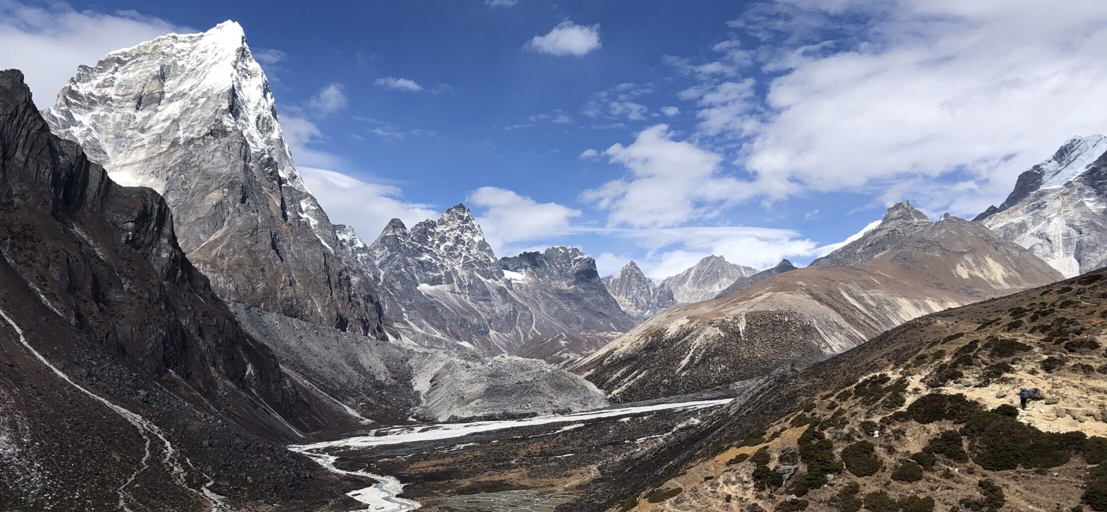
While most come for the canyons, the valley in between is also very beautiful
PERSONAL EXPERIENCE
I completed versions of Caminito del Rey in January 2025 on Wednesday. I had cloudy and slightly windy conditions. It was busy, there were constantly people around. While the crowds are controled by limited tickets, expect busy trails especially on weekends and season. Make sure to book tickets in advance.
View on the route from the end, the path leads from the canyon along the cliff, visible on the picture
This is how the trail looks like in the canyon, wide wooden plank trail with sturdy metal fence


