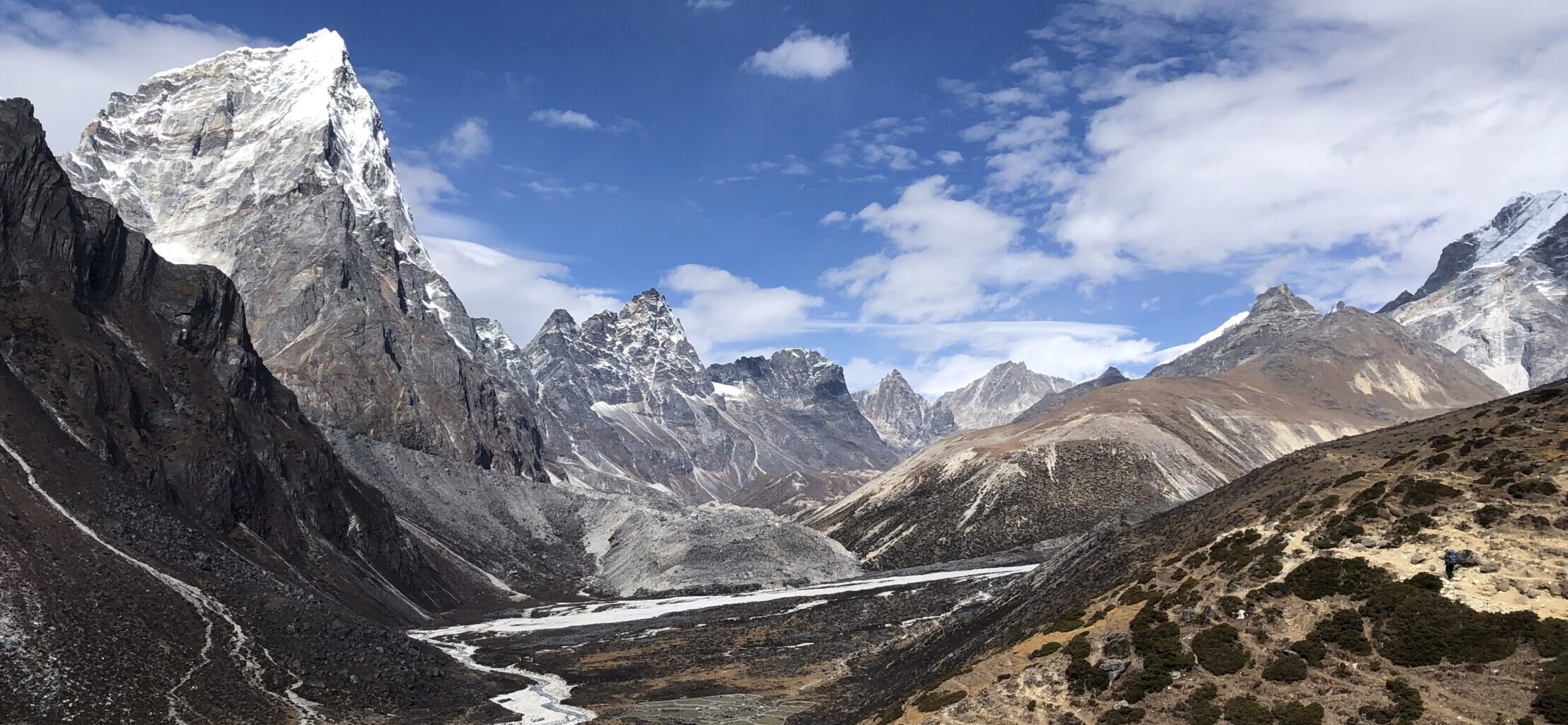
Coll de Rates is popular viewing point in Spain. It is possible to hike to it from the village of Alcalali, following route PR-CV 425-158. There are two different routes up, so you could make a loop.

GETTING THERE
Benidorm – 40km (30min)
Alicante – 80km (1 hour)
Valencia – 110km (1 hour 15min )
By car: The hike starts at viewing point “Mirador del Ravalet”. There are spots you can park on the street just after getting off CV-720 or there is small parking lot opposite of Repsol petrol station little further up the road.
Camper/van overnight stay: You can stayed at paid horse farm with rich history called “Heredad de Elias Ferrer”


TRAIL NAVIGATION
It is official hike, called Coll de rates, number PR-CV 425-158. Take a picture of the map available at the start. The trail is very well sign posted by white and yellow striped marks and sometimes also yellow directional arrow, additionally at some points there are additional sign posts.


TRAIL DETAILS
The hike to Coll de Rates starts from Alcalali, immediately into the farm plantations with orange, olive, mandarin and other trees. This part is flat, easy terrain, about 50/50 on road/gravel path, exposed without trees.
Once you get to the forrest area at the foot of the mountain the route becomes a loop. You can choose to go any direction you like, also you don’t have to do loop and just walk the one way and same way down.
Cami de la Pansa route
Go to the right at the split. This route is longer by 1km and more difficult. It starts easy enough, about 1km flat along the foot of a mountain in forrest/bushes, you might get some shade. This part is very easy. At some point you will have to start the climb. The climb is fine, pretty steep, a lot of gravel and zig zag. There are almost no trees providing shade during your climb. You get quickly amazing views on the valley and villages and the terraced slopes. It is also part of “Raisin trail”, which is old historical route.
Barranc de la Penya route
Go to the left at the split. The route is shorter and its easier. The climbing starts immediately but it is at much lower incline. The terrain is also slightly easier. It is through the woods, so you get good shade. Since you are going up a slope between hills, you do not get the as nice views as on the other route.


Coll de Rates
Both routes merge few meters before the Mirador Coll de Rates for final steep push. The viewing point is very beautiful and is right by a road, which was very busy, especially with cyclists. I also suggest going higher up to the area of the restaurant. You can enjoy additional views or some treats there or if the hike was not enough and you dare, you can add additional hike to El Penyo or Cim Carrascal.
Tree coverage: Majority of the trail is not under trees, so might be challenging on very sunny day. Also depends on the route chosen.
Geocaching: There are no geocaches along the trail, but there are two geocaches at the top.
Dogs: It is possible to do this route with your dog, if he is used to hiking.


FACILITIES
There are no facilities during the trail. There are some restaurants in the village at the start, there is also petrol station at the village and popular bike cafe right next to it. At the top of the hill there is a restaurant, which is also very popular and busy during nice weather.
I completed this hike in March 2024, dry weather, sunny, above 25 degrees but with slight wind. I have not met anyone on the trail.


