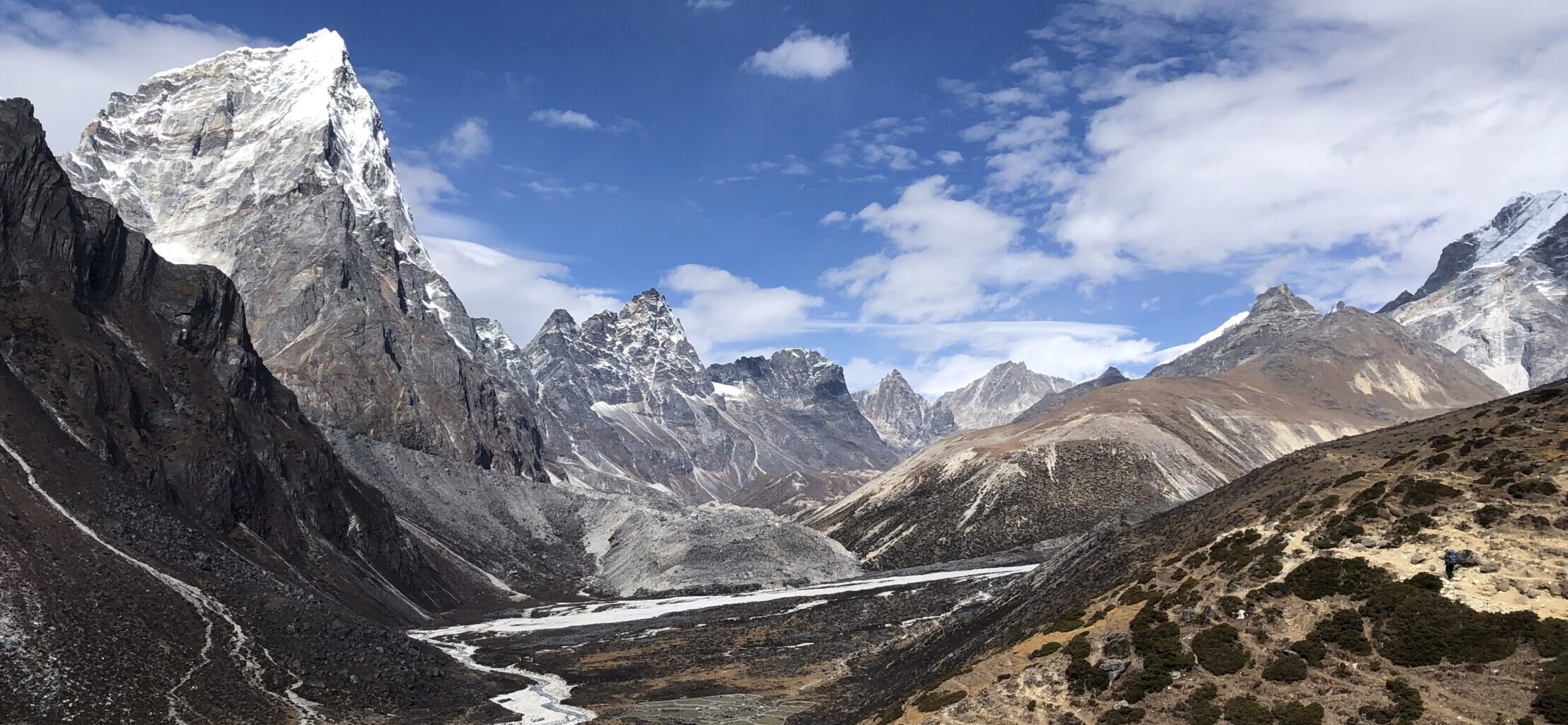
Oldeskaret is trail in Norway. It leads between villages of Briksdalsbre and Aamot, but you can just complete it as there and back hike. I have completed from Briksdalsbre to lake Storevatnet and back. The highlight of this hike offers spectacular views on the valley towards Olden, rock corridors, views on the Jostedal glacier and several glacier lakes along the way. It is difficult hike but well worth it.

GETTING THERE
Bergen – 300km (5,5 hours)
Oslo – 512km (7 hours)
Trondheim – 442km (6,5 hours)
Set GPS to Briksdalsbre Mountain Lodge, Oldedalsvegen 2211,6792 Briksdalsbre
Park your car/camper at the parking lot, you will need to pay 75 NOK (in 2023) at the machine.
Alternatively, you can stay at the overnight campsite for campers or for cars with possibility to rent a hut. Camper spot with electricity is 380 NOK.
The checkout at the campsite is at 2pm, so the hike (to the lakes and back) is possible to be done in the morning if you start early around 7am. You might need to though keep an eye on time and turn around even if you do not make it to the lakes.
If you do not wish to do this or stay at campsite another night, you have to move your camper to the day parking lot before your hike and pay the 75 NOK fee.


TRAIL NAVIGATION
See map at the start of the trail and then a sign to point you to the trail start. After that the trail is fairly clear. You need to follow the red T marking.
You can also study available online map.
TRAIL DETAILS
Oldeskaret trail starts on mild incline which quickly becomes steeper and steeper. The terrain starts as grass land with ground turning into forrest area with more and more rocks. Some points are very steep and few rocks are fairly high which is a challenge for short-legged people or dogs. Some parts have rock steps and count on couple of roped sections. You will cross a small waterfall 2-3x times, depending on the rainfall in last few days, you might get a little wet.


However already in this area you get to enjoy nice views when there is opening between the trees. Either on waterfall, the glaciers or the valley. After about 1,5km you arrive at section called Glovre, this is interesting rock formation creating kind of stone corridor. The whole steep forrest section last about first 2km from the start.

Once you pass the forrest area, you get to shrubbery and barren land. The trail is still challenging but not as steep and you get to enjoy the views more and more.
After about another 1km you will get to a first small lake and a river that feeds the waterfall. You will need to cross it twice. Once on a small bridge and second time by hoping over the rocks. At the start there are many rocks but towards the end of the crossing there are less rocks to hop on. Of course very much possible, but be aware of this crossing. As a reward you will be treated right away to another glacier lake.


After you pass the lake there will be last final steep hill, once you cross it, you can enjoy views on another glacier and glacier lake. Descent down by going over boulders to final and biggest lake Storevatnet. There is no single path down and you need to be careful with the rocks not to slip, it is not an easy terrain. Once you reach the lake, that is considered the end of the Oldeskaret, you can turn around there or continue on very narrow but fairly easy trail along the lake. The trail does continue further to Stardalen or you turn around and go back the same way.

FACILITIES
Since the hike start is at popular spot to see Briksdalsbreen glacier, there are many facitilities including toilets, souvenir shop, cafe, restaurant, etc. There are no facilities along the way and no huts on the trail.
Tip for other hikes in Norway
Very easy hike from the same starting point
