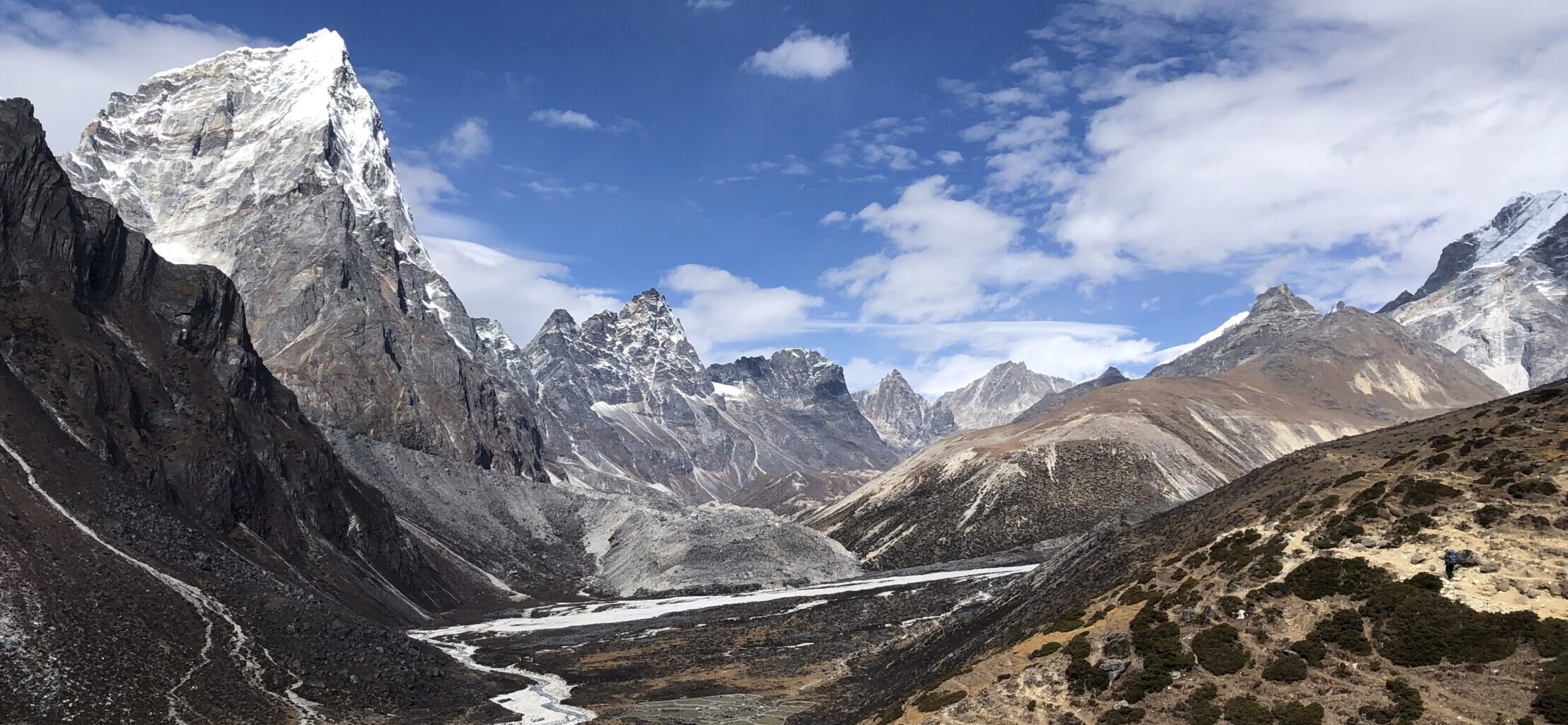
Kyrkjebonnose in Norway is hard but rewarding hike. Starting in beautiful village of Hemsedal, you enjoy various sights on the trail. The terrain can be hard in some parts, especially the final push.

GETTING THERE
Oslo – 200km (3h)
Bergen – 280km (4h 5min)
Trondheim – 430km (6h 30min)
Car parking: Park at various parking lots in Hemsedal center, although they are paid. Alternatively you can go to free gravel parking by following Kyrkjebonsvegen and when there is small signpost for Kyrkjebonnose on your right, go up the steep uphill to gravel path at quarry. Please note that this way your trip will be shortened in distance and elevation.
Public transport: Bus stop outside of the Hemsedal tourist centre. Detailed planning HERE
Camper/ Van overnight stay: I have stayed at campsite at Elvely camping in Ulsak, which is 4km away from Hemsedal. If you have bike, cycle on nice nearly flat bike path all the way from campsite to tourist center. 210 NOK camper spot, 50 NOK electricity (prices 2024). ASCI or CKE do not apply. Showers are 5 NOK/ 3 minutes. Sink with hot water is available at no extra charge. There are other campsites in the area but at higher price and this campsite is nice at good value. More info HERE

TRAIL NAVIGATION
You could navigate this trail without additional navigation, but I do recommend to get gspx file. I have used it couple of times to ensure I’m on the right track. Take a photo of the map at the start. There is directional post at the trail head at at the few turns. Sometimes direction is also indicated by blue paint on trees or stones or other items.
I also recommend to get the Hemsedal App, you can learn more details about the hike, get the gspx file for free and learn about other hikes in the area.
Get the app HERE
Brief summary about the hike HERE


TRAIL DETAILS
Trail starts easy enough at the Hemsedal village, there is immediate elevation climb but on tarmac or gravel paths for the first 2km until you get to the gravel pit/quarry, where cars might be parked. If you park here, it means you will walk about 3,5-4km less and perhaps 100m less in elevation.
From here enter the forrest area, the trail will become slightly steeper and more challenging, but still relatively easy. When you get to the fence, do not hesitate to pass through, just make sure to close the gate after you. There were couple of sheeps on my way up in the forrest, but they kept clear from the trail and you can hear their bells. In the forrest area you will not enjoy many views, but the forrest is very pretty. Please note that you will pass several small creeks, but they are easy to skip over without getting wet.


Once you pass the forrest area, you get to enjoy the increasingly amazing views. However you shall also enjoy harder trail. At first the trail is still prominent and easy to follow. However at some point you get to more rocky part, where you might need to look well to see the trails and occasionally pull yourself a bit. It is not extreme and there are no chains as it is not required, but it can be challenging. It is definitely more technical terrain, where you should be careful. After final push you reach peak with Kyrkjebonnose sign at elevation of 1610 meters. Most people stop here before heading back.


TRUE PEAK
If you are up for challenge, you can continue to true summit which is about 1,5km further. However please note that the terrain is more challenging. You will rely on your orienteering skills also, since the trail is not marked at all. You will need to be walking across medium sized rocks. So although the elevation gain is not massive over the distance, it is challenging walk, where you need to be careful with foot placement. If you decide to visit the true peak at 1649m, you get slightly better views but also get to see lake Vestrebotnjerne, which is not visible otherwise.


Depending where you park and where you finish the trail the distances and elevation gain will vary. Here is ROUGH estimation of the distances and elevation gains:
Hemsedal village – first peak = 10km, 1000m elevation
Hemsedal village – true peak = 13km, 1100m elevation
Gravel park – first peak = 8km, 900m elevation
Gravel park – true peak = 11km, 1000m elevation
Tree coverage: The trail is mostly in open area, only part is in forrest.
Geocaching: There is one geocache at the tourist peak and another at the true peak.
Dogs: If your dog is used to walk such distance and elevation. Dogs must be leashed.
Shoes recommendation: Can be completed in trail runners with good profile. Walking stick might be good option, especially on descent


FACILITIES
There are no facilities along the trail. There are various facilities, shops and restaurants at Hemsedal village.
PERSONAL EXPERIENCE
I completed this hike in July 2024 on Saturday. Weather around 17 degrees, varied weather, sun and hot at the start, cold wind and light rain later on. I have met some people on the trail. I expect the trail to be busy, when it is nice weather. Hemsedal is very popular tourist destination.


4 Responses