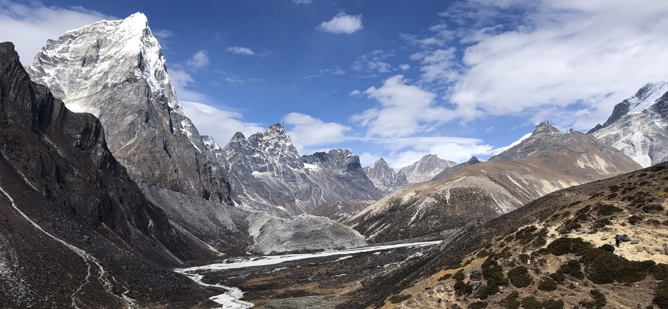
Gulleplenipa is viewing point in Norway. It can be your hiking destination of if you are up for challenge, you can continue further on the trail to mountain peak Keipen. Enjoy great views on the valley and the fjord below. Part of the trail is on stone stairs, which were made by nepalese sherpa.

GETTING THERE
Bergen – 190km (3,5-4 hours)
Oslo – 360km (6,5 hours)
Trondheim – 460km (7,5 hours)
By car: Set GPS to Esebotn 4, 6889 Balestrand. If using Google maps, find “Keipen-starting place”.
In the curve of the fjord, there is a small parking lot. It is small parking lot and it is NOT intended for overnight stay/camping.
By camper/van: If you do plan to stay overnight, few hundred meters down the road towards Balestrand, there is small pullover place, where you could camp overnight for free. Note that it is right by fairly busy road with trucks passing by.


TRAIL NAVIGATION
Take a picture of the map available at the trail head. From here, follow red T marking on various landmarks. Navigation is relatively easy as there are no turns to other trails but once you reach the rocky part, the trail is less prominent at times. Still easy to follow but you need to pay attention.


TRAIL DETAILS
Start to rocky terrain
Once at the parking lot, cross the small bridge and turn immediately to the left. Trail starts at very mild incline by the river for few hundred meters, then it turns into grassy/forresty areas where the incline slowly increases up until Dalen at 180m. There is a lot of blueberries along the way and also sheeps roaming freely. It is very pleasant and easy walk up to this point. At Dalen cross small steel bridge.
From Dalen the incline steepens. The trail is mixed ground with rocks and rock steps. The steps have been placed by Nepalese sherpas in order to make the trail more accessible. Once the forrest area ends, you are in the open and you need to cross big rocks.


Rocky terrain to Gulleplenipa
You might want to pay better attention to the markings and foot placement at this part. It might look like there is no trail, but for most part, there is actually designated path/steps. The incline here is not as intense, but still difficult.
Then you get to barren part, this part was quiet muddy when I was there as the moss held in all the water from recent rains. For the final part get ready for some rock hoping again, final steep portion until you reach Dagbu.
From Dagbu get on the small path to the viewing point of Gulleplenipa. At Dagbu/Gulleplenipa you are treated to magnificent views, you will of course see fjord views on Sognefjord and Stebotn valley. But also you will get to see glacier lake Gulleplavatnet which is not visible while hiking. And then of course glacier Bjornabreen.


Other details
From Gulleplenipa you can return the same way back or continue to Keipen, which is about another 2,5km. While the distance might not seem much further, the trail is marked with higher difficulty. From Keipen you also return same way back or continue down to the other side of the fjord, meaning you will end at completely different point.
Important note: To reach Keipen you need to cross the glacier and further glacier crossing is required if hiking to Dalen.


FACILITIES
There are no facilities on the trail but also not at the trail start at the parking lot. Best place for facilities nearby is Balestrand (4,5km), which has free public toilets at the marina, several supermarkets and restaurants. It is also lovely small village to visit.
I completed this hike in August 2023. I went early in the morning and on my descent I have met few fast hiking locals, not many tourists.
